Published 2024-10-23
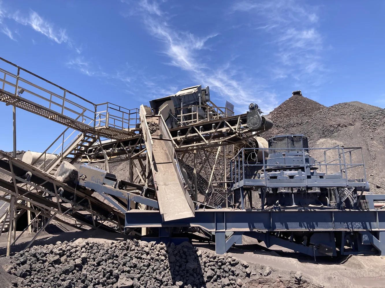
When placing processing equipment in an aggregate mine, updated aerial imagery plays a critical role. High-resolution aerial images provide a comprehensive overview of the site, allowing decision-makers to accurately assess the layout of the terrain, nearby infrastructure, and existing operational features. Without current imagery, decisions may be made based on outdated or incomplete information, potentially leading to inefficiencies or costly errors. Aerial imagery also helps in identifying natural features, such as water bodies or sensitive environmental areas, which must be considered when planning the placement of equipment to minimize environmental impact.
Elevation data is equally important because the topography of the site directly affects the flow of materials, drainage, and energy requirements. Elevation data informs the optimal placement of equipment, ensuring that gravity can be used to assist with material flow where possible, reducing energy costs. It also helps in planning for stormwater management, as equipment must be placed in locations where water can naturally drain away, preventing flooding or erosion. Additionally, elevation data can influence the design of haul roads and access points, making sure that transportation of materials is both efficient and safe.
Knowing the location of current assets, such as utilities and stormwater conveyance systems, is crucial for operational efficiency and long-term sustainability. Equipment must be placed in proximity to power and water supplies to ensure seamless operation without the need for extensive infrastructure development. Furthermore, the location of stormwater systems is essential to prevent water damage and manage runoff effectively. Poorly placed equipment could disrupt these systems, leading to flooding or contamination of nearby water bodies, which can result in regulatory issues or costly repairs.
Finally, integrating aerial imagery, elevation data, and asset location helps create a more holistic, data-driven plan for placing equipment in an aggregate mine. These factors work together to optimize site layout, ensuring that equipment is positioned in areas that support operational efficiency, safety, and environmental responsibility. By using updated data and precise planning, companies can avoid unnecessary costs, streamline operations, and maintain compliance with environmental regulations. If you need help collecting this data, or producing visuals that will help with equipment placement decisions give us a call.
How Geographic Solutions can help
Geographic Solutions supports aggregate operators, landowners, contractors, and investors with permitting, mapping, reserve modeling, market studies, valuation, and due diligence for pits and quarries in Washington and Oregon.